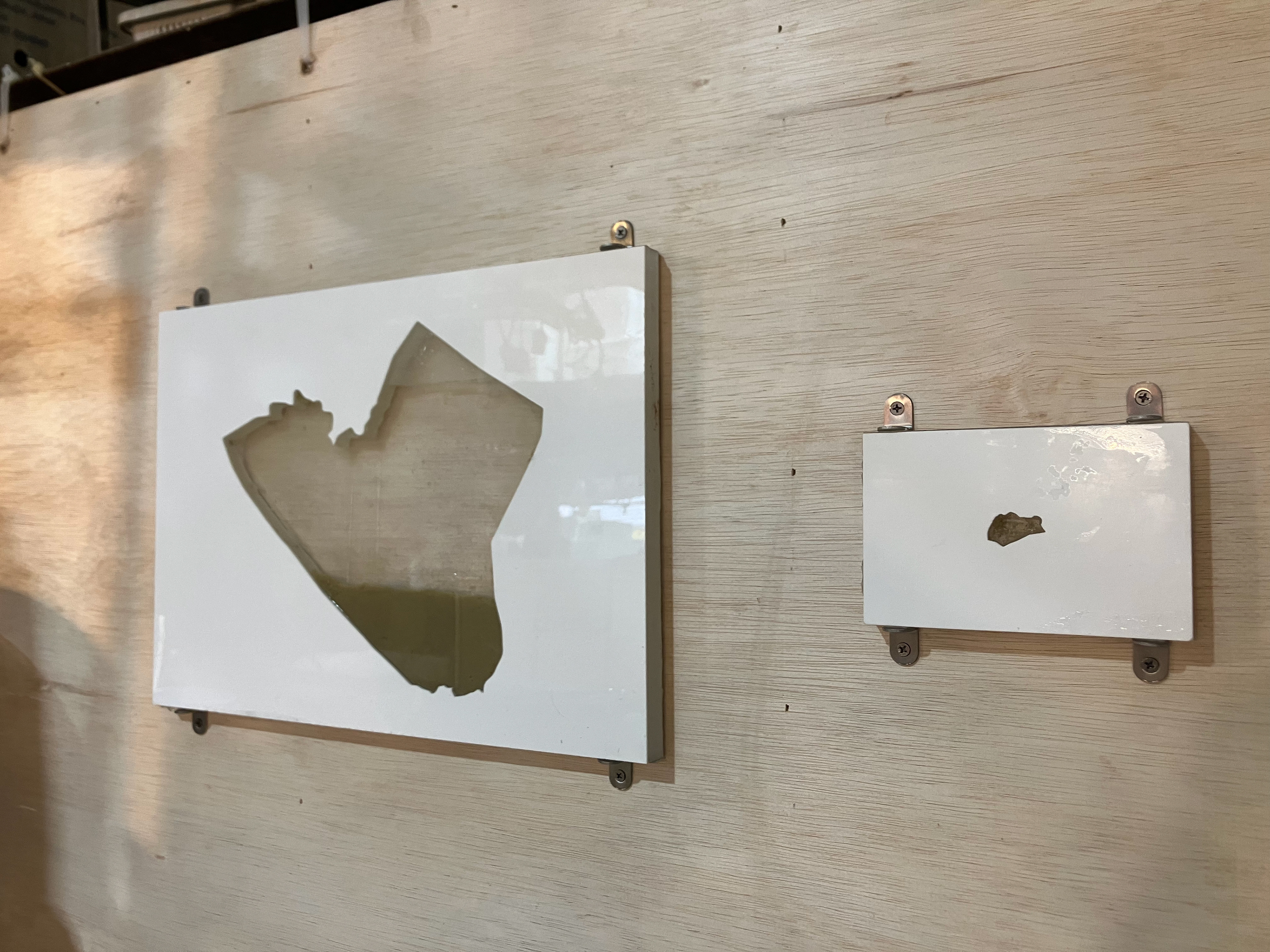
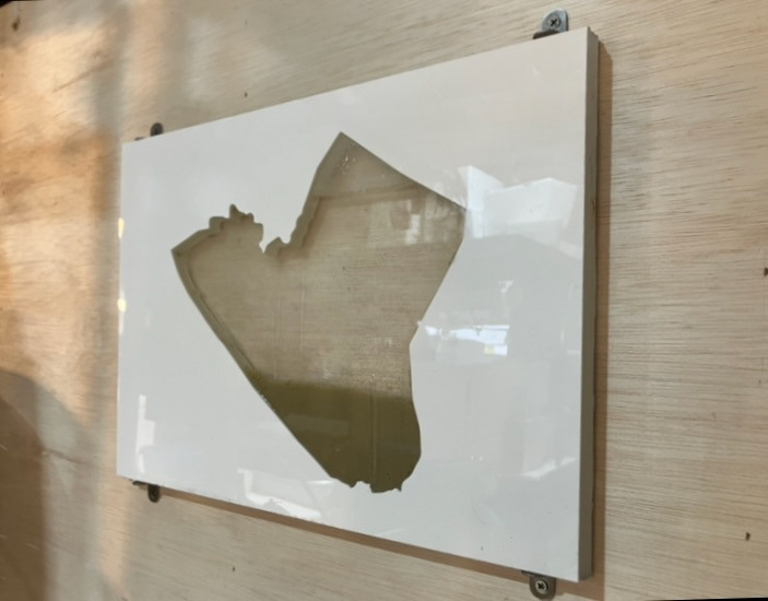
This is yours, this is mine (EEZ of Malaysia)
2025
Acrylic, kinetic sand, seawater from Stulang Beach, Johor Bahru and Punggol Beach, Singapore
42 x 24 x 2cm
2025
Acrylic, kinetic sand, seawater from Stulang Beach, Johor Bahru and Punggol Beach, Singapore
42 x 24 x 2cm
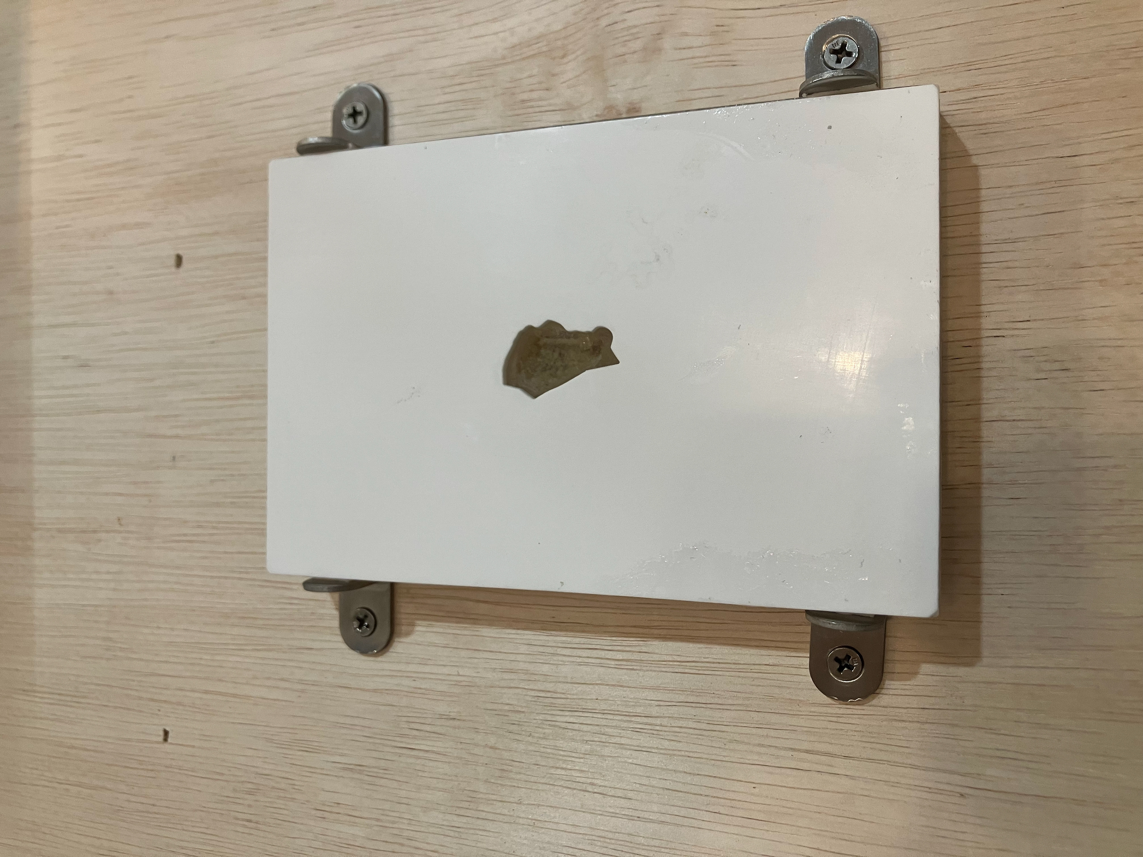
This Is Mine, This Is Yours (Singapore EEZ x2)
2025
Acrylic, kinetic sand, sea water from Stulang Beach, Johor Bahru and Punggol Beach, Singapore
15 x 10 x 2cm
2025
Acrylic, kinetic sand, sea water from Stulang Beach, Johor Bahru and Punggol Beach, Singapore
15 x 10 x 2cm
Exhibited at 开门见山: Supper is a meal and a House is a home.
Curated by Supper House
30 Aug - 7 Sep 2026
505 Jurong West St 52, Singapore
Curated by Supper House
30 Aug - 7 Sep 2026
505 Jurong West St 52, Singapore
The seas, intangible in boundary and form had been divided into exclusive economic zones. These zones mark the area, distinct from national maritime boundaries that a nation can claim resource or economic gains.
The Anglo Dutch treaty of 1824 separated the Johor sultanate into British and Dutch control. The various treaties sought by European empires separated and subjugated the diverse thalassocratic states of Southeast Asia into large colonial areas which later formed the base of modern nation states.
Furthermore the act of map making had diverse effects in the past few centuries. Such is the power of maps to make corporeal the incorporeal, and make the intangible tangible. A shared commons becomes a commodity and a matter of international relations and economic concerns. With it came matters of national defence as states strived to extend, or protect their EEZs.
Currently United Nations Convention on the Law of the Sea (UNCLOS), an international treaty that establishes a legal framework for all marine and maritime activities.
As much as land based maps, sea maps also divide the environment into different areas. In both instances imaginary lines causes huge repercussions on the ground.
The sea water was taken from Stulang Beach in Johor Bahru and Punngol Beach in Singapore, one of the few beaches where we can look across the other side of the Johor Straits.
The Anglo Dutch treaty of 1824 separated the Johor sultanate into British and Dutch control. The various treaties sought by European empires separated and subjugated the diverse thalassocratic states of Southeast Asia into large colonial areas which later formed the base of modern nation states.
Furthermore the act of map making had diverse effects in the past few centuries. Such is the power of maps to make corporeal the incorporeal, and make the intangible tangible. A shared commons becomes a commodity and a matter of international relations and economic concerns. With it came matters of national defence as states strived to extend, or protect their EEZs.
Currently United Nations Convention on the Law of the Sea (UNCLOS), an international treaty that establishes a legal framework for all marine and maritime activities.
As much as land based maps, sea maps also divide the environment into different areas. In both instances imaginary lines causes huge repercussions on the ground.
The sea water was taken from Stulang Beach in Johor Bahru and Punngol Beach in Singapore, one of the few beaches where we can look across the other side of the Johor Straits.